As we’ve learned these past two weeks, one of the things that scientists often do is frame a small portion of the world. They do this for many different purposes.
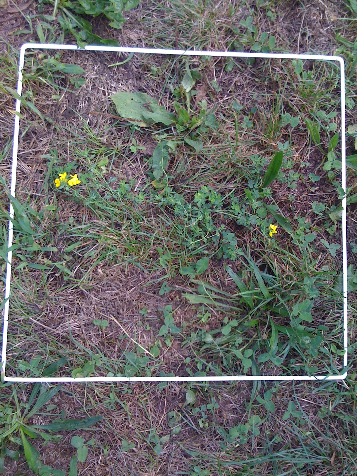
We used the 50 cm x 50 cm sampling frames, like the one in the photo at the left, to draw our attention to a section of the Earth containing living plants, non-living plant material, and other objects (e.g., dirt and rocks). As we tried describing what was inside of the frame, many students had difficulty doing their descriptions because they felt was too much to describe. Even though the total area was only 0.25 square meters, students were quickly overwhelmed by the large number of objects inside of the frame.

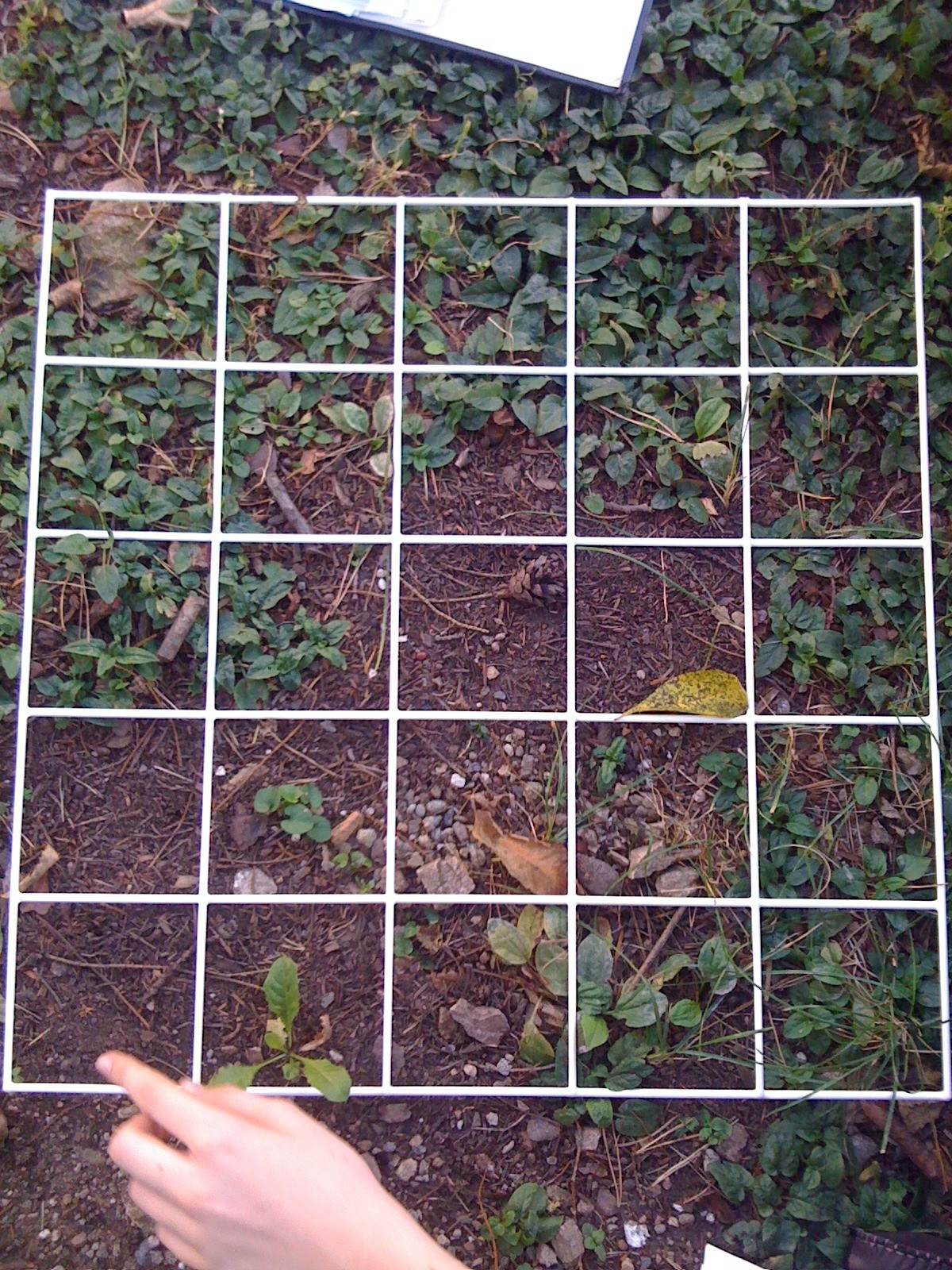
We then learned that scientists have this problem too, but they have invented an interesting solution to the problem. We can see this solution in the photo at the right.
It’s simple: they divided the one 50 cm x 50 cm frame into 20 smaller frames. Because of this invention scientists (and TASIS science students) can pay attention to the details of the Earth one small frame at a time. If done properly, this method can increase the accuracy of their descriptions and measurements. We might say that it’s because there are now many more ‘frames of reference.’
In Week 2 of our class, we used these medium sized sampling frames to survey some areas on the TASIS campus (we also have frames that are divided into 100 smaller frames). In a way, we acted like satellites in space: that is, we took a bird’s eye view of the Earth and produced a two-dimensional map of some of its features. In particular, we paid close attention to three features within our frames: the amount of living plants, the amount of non-living plant material (e.g., sticks, dead grass, fallen leaves, etc.), and the amount of “everything else.” The words we used to describe these features included biotic and abiotic.
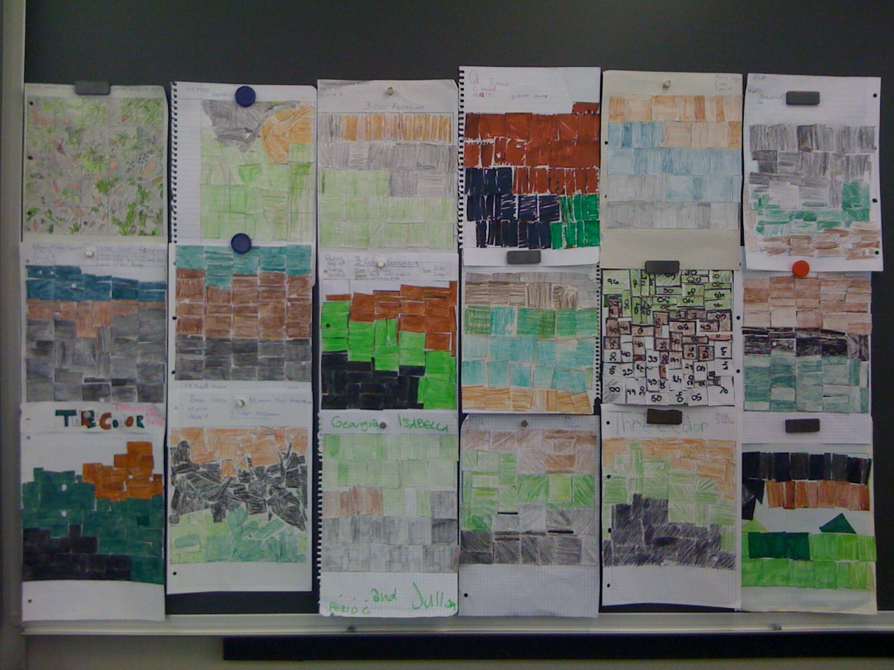
We standardized our maps by choosing the same 3 colors–green, brown, and black–to represent our 3 features of interest. We also standardized our maps by creating the same size maps on our papers–each group of students produced a two-dimensional map that measured 20 cm x 20 cm. These decisions allowed us to compare our maps not only with other groups within our class, but also with other groups within other science classes.

You can see how easy this comparison was in the picture at the left. Within this single photo is work from all four class periods. Outdoors, our frames were placed on many different parts of the campus, which made them very difficult to compare with one another. Indoors, however, we can easily arrange them side by side, which allows us to see things like similarities, differences, patterns, and/or trends that we couldn’t see before. Like scientists, we have successfully transformed the 3-dimensional Earth into 2-dimensional images…and this action is one of the most common practices of real-life scientists. Now, we have a few answers to the question at the top of this page (What do scientists do?): they frame, they standardize, they describe, they rearrange, they transform, they compare.
Click on the periods below to see individual examples of 2-color and 3-color maps produced by all four of Mr. Merritt’s science classes.
