
Many of you have been inquiring as to the precise location of Mud Creek in North Carolina.
Well, ask and you shall receive…
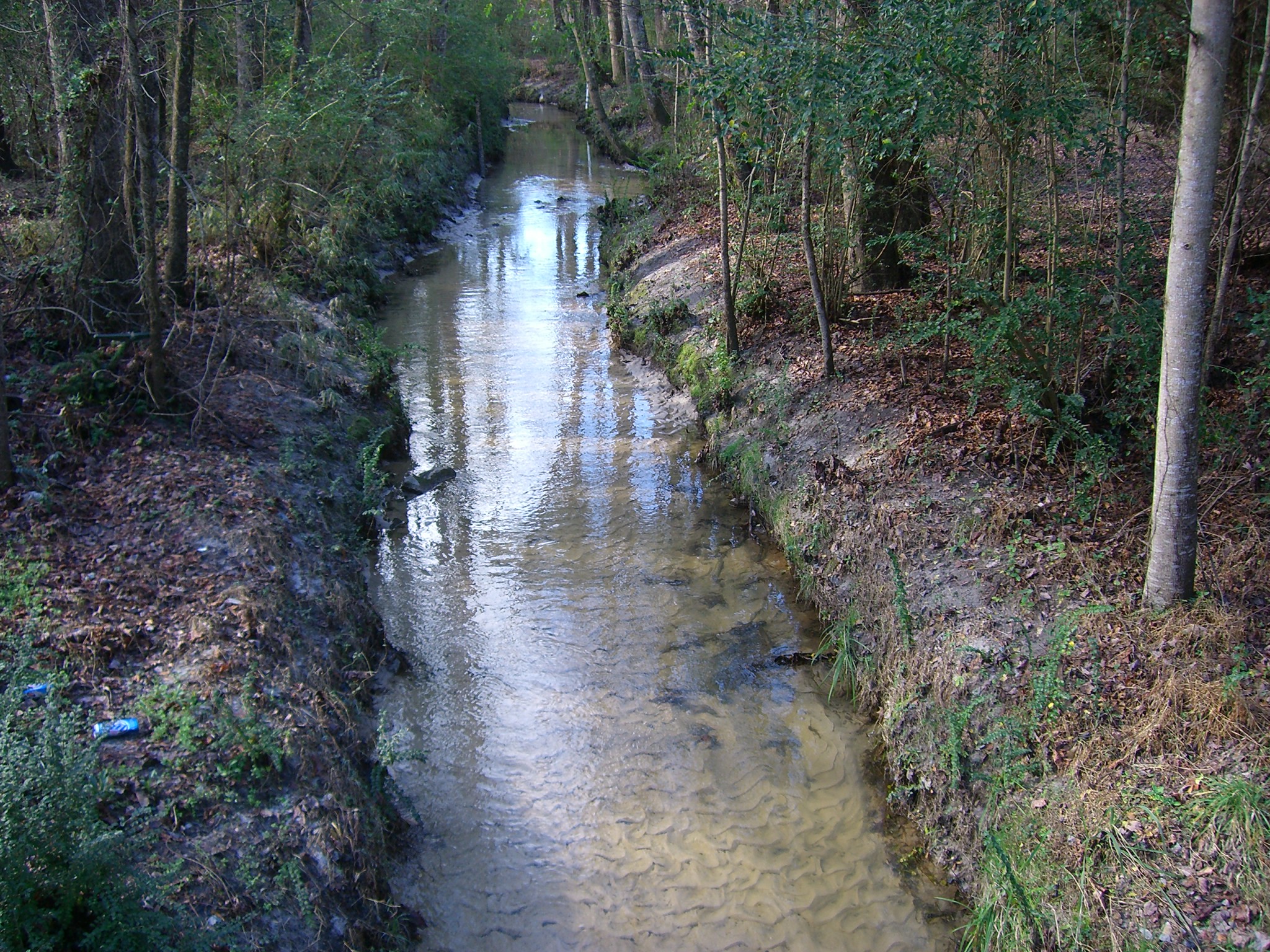
Today, I played around with Google Maps and somehow managed to create a custom map that shows you the journey Mud Creek takes as it works its way through the Durham area and into other streams (and eventually into reservoirs, rivers, and finally, the Atlantic Ocean).
Please click on the map below and explore!
[googlemaps https://maps.google.com/maps/ms?msa=0&msid=200258296652746892966.0004cfb29a290e7f0965c&ie=UTF8&ll=35.944434,-78.972644&spn=0.151408,0.024089&t=m&output=embed&w=425&h=350]
You will notice different color ‘pins’ on the map.
- There is nothing special about the blue ones; they simply mark the route of Mud Creek through the Durham area landscape.
- The red ones mark the areas where Mud Creek (or New Hope Creek, as it eventually becomes) crosses roads, highways and interstates.
- On a laptop or desktop computer, if you zoom in on the red ‘pins’ as far as the map allows you will almost always find a small yellow cartoon figure of a person ‘standing’ in the road.
- Click on this person and you will be in for quite a technological treat…if you’re patient, and if your browser is functioning properly, you will get a real life, on-the-ground (‘worms-eye’?) view of Mud Creek as if you were standing there yourself!
- Unfortunately, I don’t think this cool feature–or the one below–works on the iPad yet.
- Be sure to test the different view by choosing the white buttons in the upper right hand corner of the map. The “Earth” view is particularly interesting.